


Innovating with Excellence
Empowering governments across Africa with cutting-edge technology solutions. As the organization specializing in African government digital transformation, CSM Tech Africa delivers unparalleled quality and reliability for mission-critical government projects across East Africa.
Awards
- Disclosure of Asset Registration System
- Property Tax Management System
- Workflow Automation System
- Single Window System
- Integrated Land Management System
- Soil Information System
- School Mapping System
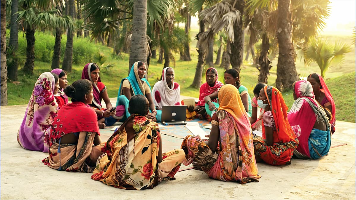
- Integrated Beneficiary Management System
- Early Warning and Pest Monitoring System
- City Level Program Monitoring
- E-Commerce Design
- Digital Media Library Platform (DMLP)
 Quality Management
 Information Security
 Service Excellence
 Sustainability
 HR Excellence
 People Excellence
Urban Institutional and Infrastructure Development Program (UIIDP)

Aid Information Management System

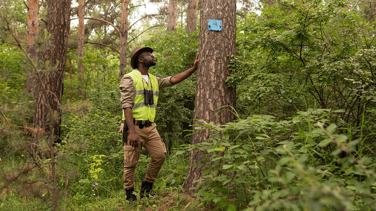
Timber Traceability System

Comprehensive Government Solutions Across Africa
Empowering governments across Africa with cutting-edge technology solutions. As the organization specializing in African government digital transformation, CSM Tech Africa delivers unparalleled quality and reliability for mission-critical government projects across East Africa.
Explore all Solutions


Comprehensive Service Offerings

AI and Allied Services
Applied AI technologies that help organizations automate decisions, scale intelligence, and create measurable impact.

Consulting and Allied Services
Strategic and execution-focused support helping organisations navigate change and align technology with business goals.

Data and Analytics
Data and analytics services that turn growing data into timely insights organisations can trust and act on.

Emerging Technologies
Emerging technologies that help organisations understand digital signals, respond faster, and build trust at scale.

Engineering, Application and Transformation
Engineering and application development services that modernize systems, streamline operations, and enable digital transformation at scale.

IT Facilities, Cybersecurity and Partner Services
Secure IT infrastructure and cybersecurity services that keep systems resilient, available, and ready to scale.
Transformation Stories & Research from the Field
Research, insights, and best practices from 25+ years transforming African government operations.


Let’s Build Digital Africa,Together
Whether you’re a government body, public enterprise, or development partner, we’re here to collaborate on transformative digital initiatives.
Talk to our Experts
Connect with our experts to explore tailored digital solutions that fit your goals and challenges.
Request a MeetingRequest for Service
Let’s connect to discuss your needs and craft the right digital solution together.
Request
Transform Africa's Future While Building Yours
Join our growing team to work on projects that directly impact 50 million+ citizens across Kenya, Rwanda, Tanzania, Uganda, and Ethiopia.
Global Associates


