


.jpg)
Some 40 years back, if the average person wished to access satellite imagery, it would have been wishful thinking. That was the era when only governments and military operations controlled by them had exclusive dominion over space. They released tidbits of satellite data to showcase their achievements. The tide started turning towards the twilight of the bipolar Cold War. Russia realized that they could monetize the valuable satellite data, and in 1992, they began selling it to the highest bidder. The United States went one-up on geospatial data exploration in 1994 by permitting private companies to build and launch their own satellites.
Today, commercial satellites cover most of the world's lands and oceans. The scenario has led to the democratization of earth observation data. More companies are offering satellite tasking, which means you can commission a satellite to capture images on your designated Area of Interest (AOI).
Demystifying Satellite Tasking
Let's say you have a toy robot that can fly up in the sky and take pictures of things. Satellite tasking is like telling the robot where to go and what to take pictures of. In a sense, you are assigning it a specific task. People on Earth can send commands to the satellite, telling it where to go and what to look at. Satellite tasking is like instructing a flying robot to take pictures of something specific in space or on Earth. Instead of relying on pre-scheduled or random imagery, tasking satellites allow us to control what, when, and where data is collected. This targeted approach to satellite observation ensures that we obtain the precise information we need when we need it.
.jpg)
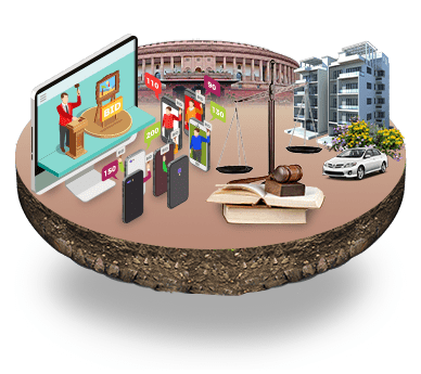
Why Satellite Tasking When There's Google Earth
Satellites can see parts of the spectrum that are not visible to humans, such as infrared and ultraviolet. As a result, optical satellites can measure things like the ocean's temperature and the vegetation's health. The most common use for optical imagery is mapping-consider Google Earth, which made satellite imagery available to the public on an unprecedented scale. However, Google Earth's resolution varies greatly. Similarly, its revisit rate is inconsistent and can be incredibly slow: some areas don't get updated for years. You'll need more reliable images to monitor infrastructure or construction. Tasking satellites offer several advantages over traditional satellite imagery. Firstly, it allows us to capture high-resolution images of specific locations, providing a level of detail that is often essential for decision-making. Secondly, by being able to task satellites on demand, we can respond quickly to emerging situations and obtain real-time data.
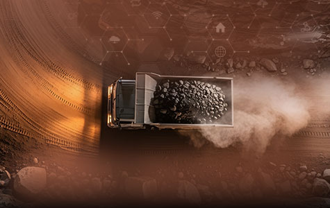
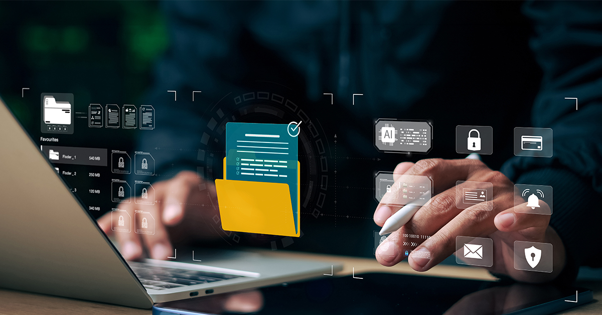
Understanding its Working
It all begins with a client requesting tasking for a specific AOI and basic parameters—such as cloud coverage, how the image will be processed, what kind of capture technique will be used (like mono, stereo, tristereo), and what kind of spectral bands are required. You can also task a satellite via an API. Satellite tasking involves various image acquisition methods, including panchromatic, multispectral, and hyperspectral. Each method has its own advantages and is used for different purposes.
Scientists can identify and monitor changes in land cover, water quality, and atmospheric conditions by analyzing the spectral signatures of objects and materials.
.jpg)
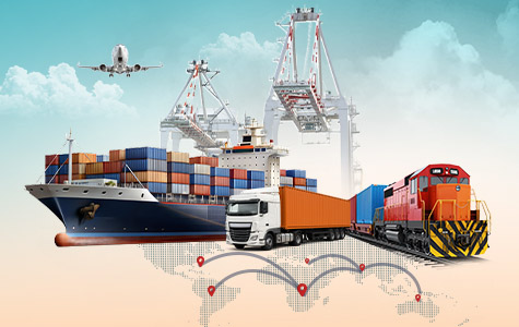
Mapping The Use Cases
Satellite tasking unlocks a world of possibilities for obtaining actionable insights. From resource management to disaster response, the applications are numerous.
Urban Planning and Infrastructure Development: Tasking satellites are invaluable for urban planners and infrastructure developers. They provide detailed and up-to-date images of cities, helping to identify areas for potential development or redevelopment.
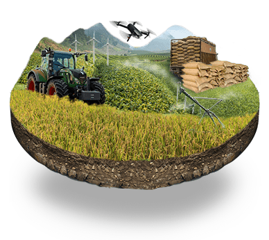
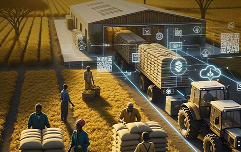
Agriculture and Crop Monitoring: In agriculture, tasking satellites offer tremendous benefits. By capturing data on crop health, soil moisture, and vegetation indices, farmers can make informed decisions about irrigation, fertilization, and pest control.
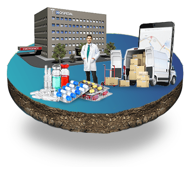
Disaster Management and Emergency Response: When disaster strikes, every minute counts. Tasking satellites can provide critical information for disaster management and emergency response teams. By capturing real-time imagery and data, authorities can assess damages, identify areas needing assistance, and more effectively plan rescue and recovery efforts.
Challenges and Limitations in Tasking Satellites
It is true that satellites appear like futuristic superheroes, but they have their own challenges and limitations.
Technical Limitations and Constraints: Satellites may have a bird's eye view of the world but are not immune to technological limitations. Factors like limited resolution, weather conditions, and sensor capabilities can impact the quality and quantity of data satellites gather.
Data Quality and Accuracy: Just because satellites can snap stunning pictures from space doesn't mean every pixel holds the key to actionable insights. Data quality and accuracy can be affected by various factors, such as atmospheric interference, sensor calibration, and image processing techniques.
Cost and Accessibility: Access to satellite tasking services is not always a walk in the park. The costs associated with tasking satellites and acquiring data can be significant, limiting accessibility for smaller businesses or organizations with limited budgets.
Future Trends and Innovations
As technology progresses, satellites become smarter, more agile, and capable of capturing higher-resolution imagery. Advancements in miniaturization, propulsion systems, and onboard processing are revolutionizing satellites' operations. Artificial Intelligence (AI) and Machine Learning (ML) could be game-changers in the satellite tasking arena. By integrating these technologies, satellites can analyze vast amounts of data autonomously, detect patterns, and deliver real-time actionable insights. The combination of these two technologies can enable more accurate and efficient decision-making, leading to groundbreaking applications in disaster response and climate change monitoring.


Recent Publications


- Agriculture and Allied Services
- AgriTech
- Application Development
- Artificial Intelligence
- Blockchain
- COVID-19
- CSM Editorial
- Data Analytics
- Digital service
- Digital Transformation
- Education
- EduTech
- Emerging Technologies
- Enterprise Resource Planning
- Food Security
- Golden Records
- GovTech Solution
- Green Jobs
- Healthcare
- HR Analytics
- Hybrid Work Culture
- Independence Thought
- Industry 4.0
- Innovation
- IT Consulting
- Land & Industry
- Life@CSM
- Memory Lane
- Mines & Minerals
- Mining Technology
- Opinion Piece
- Precision Agriculture
- Smart City
- Social Listening
- Social Media
- Social Registry
- Super Apps
- Tourism
- User Experience
- Web 3.0
- Work Culture


We will verify and publish your comment soon.